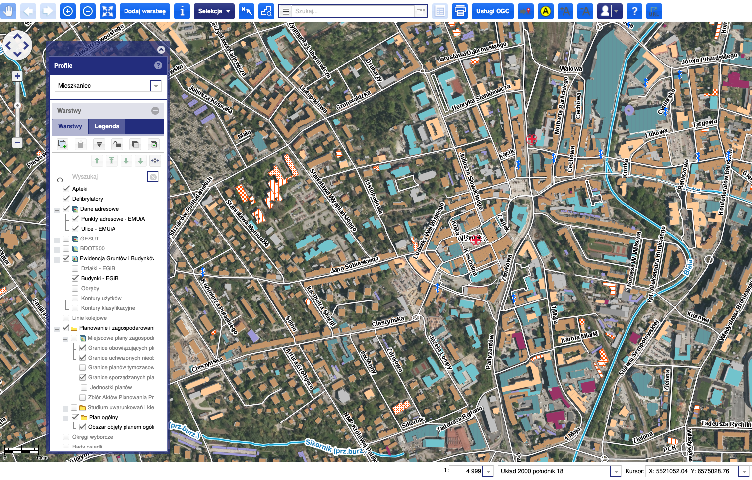
Municipal Spatial Information System
A spatial information system used by Polish governmental entities to publish and manage municipal spatial data. The City of Gliwice runs its public geoportal on it.
- Role
- Frontend engineer, leading frontend development
- Work
- –Interactive web mapping with OpenLayers at municipal scale
- –Ext JS application layer over Spring services
- –Work on a long-lived public-sector platform that is still in service
- Outcome
- Live public geoportal serving the City of Gliwice and its residents.
- Stack
- Ext JSOpenLayersSpringPostgreSQLDocker